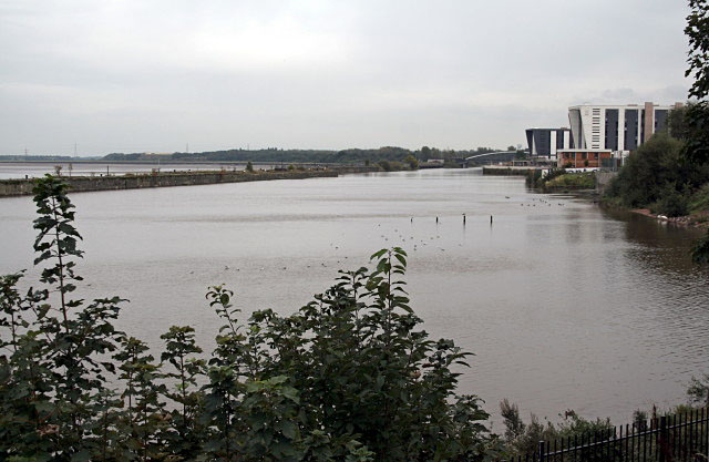
Runcorn reach
Introduction
The photograph on this page of Runcorn reach by Alan Murray-Rust as part of the Geograph project.
The Geograph project started in 2005 with the aim of publishing, organising and preserving representative images for every square kilometre of Great Britain, Ireland and the Isle of Man.
There are currently over 7.5m images from over 14,400 individuals and you can help contribute to the project by visiting https://www.geograph.org.uk

Image: © Alan Murray-Rust Taken: 6 Oct 2008
One reason for this wide stretch of the Manchester Ship Canal was that it enabled the tallest craft to layover while parts of their superstructure were removed for the passage to Manchester and back; some bridges beyond this point afforded a slightly lower headroom than below Runcorn.

