Storrington Chapel, North Street
Introduction
The photograph on this page of Storrington Chapel, North Street by Simon Carey as part of the Geograph project.
The Geograph project started in 2005 with the aim of publishing, organising and preserving representative images for every square kilometre of Great Britain, Ireland and the Isle of Man.

There are currently over 7.5m images from over 14,400 individuals and you can help contribute to the project by visiting https://www.geograph.org.uk
Storrington Chapel, North Street
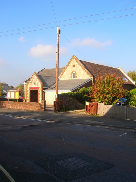
Image: © Simon Carey Taken: 11 Oct 2008
Evangelical Free Church built in the 1930s.
Images are licensed for reuse under creativecommons.org/licenses/by-sa/2.0
Image Location
Latitude
50.918642
Longitude
-0.454124