Tannery Lane
Introduction
The photograph on this page of Tannery Lane by Alan Murray-Rust as part of the Geograph project.
The Geograph project started in 2005 with the aim of publishing, organising and preserving representative images for every square kilometre of Great Britain, Ireland and the Isle of Man.

There are currently over 7.5m images from over 14,400 individuals and you can help contribute to the project by visiting https://www.geograph.org.uk
Tannery Lane
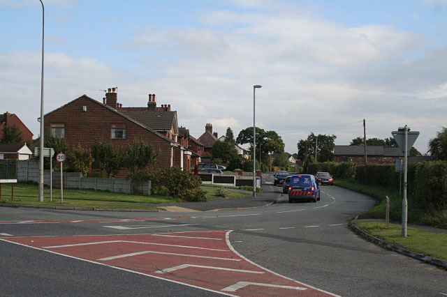
Image: © Alan Murray-Rust Taken: 6 Oct 2008
There was formerly a large tannery on the lane. This closed in 1959 but industrial activity continued on the site until 1999. The area has now been completely built over with new houses.
Images are licensed for reuse under creativecommons.org/licenses/by-sa/2.0
Image Location
Latitude
53.379409
Longitude
-2.669813