River Stor
Introduction
The photograph on this page of River Stor by Simon Carey as part of the Geograph project.
The Geograph project started in 2005 with the aim of publishing, organising and preserving representative images for every square kilometre of Great Britain, Ireland and the Isle of Man.

There are currently over 7.5m images from over 14,400 individuals and you can help contribute to the project by visiting https://www.geograph.org.uk
River Stor
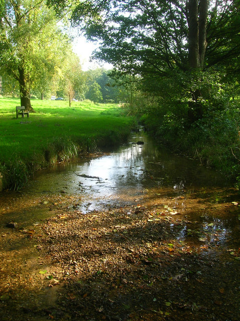
Image: © Simon Carey Taken: 11 Oct 2008
Between the loop of Meadowside is a small open space also known as Meadowside through which the River Stor runs.
Images are licensed for reuse under creativecommons.org/licenses/by-sa/2.0
Image Location
Latitude
50.915709
Longitude
-0.449953