Chantry Lane
Introduction
The photograph on this page of Chantry Lane by Simon Carey as part of the Geograph project.
The Geograph project started in 2005 with the aim of publishing, organising and preserving representative images for every square kilometre of Great Britain, Ireland and the Isle of Man.

There are currently over 7.5m images from over 14,400 individuals and you can help contribute to the project by visiting https://www.geograph.org.uk
Chantry Lane
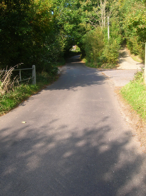
Image: © Simon Carey Taken: 11 Oct 2008
Possibly an old droving road as it begins on Chantry Hill then heads northwards to the A283 then continues as other lanes towards what was once Chiltington Common. Here it is crossing the River Stor.
Images are licensed for reuse under creativecommons.org/licenses/by-sa/2.0
Image Location
Latitude
50.914156
Longitude
-0.448155