River Stor
Introduction
The photograph on this page of River Stor by Simon Carey as part of the Geograph project.
The Geograph project started in 2005 with the aim of publishing, organising and preserving representative images for every square kilometre of Great Britain, Ireland and the Isle of Man.

There are currently over 7.5m images from over 14,400 individuals and you can help contribute to the project by visiting https://www.geograph.org.uk
River Stor
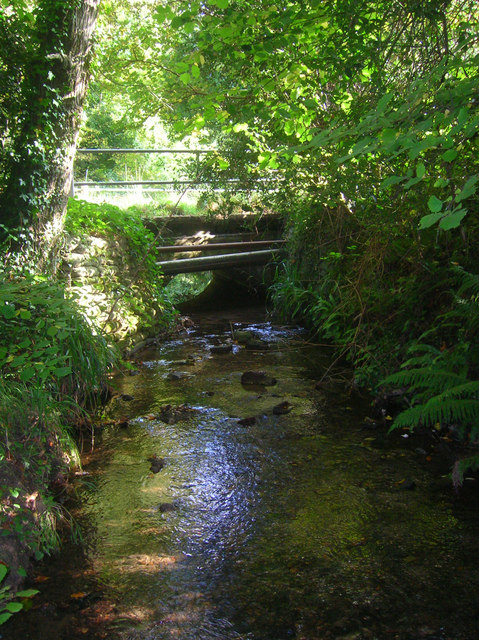
Image: © Simon Carey Taken: 11 Oct 2008
A tributary of the River Arun which it joins south of Pulborough having risen in the foothills of the Downs next to Chantry Lane. The bridge carries that lane over the river.
Images are licensed for reuse under creativecommons.org/licenses/by-sa/2.0
Image Location
Latitude
50.913887
Longitude
-0.448164