Chantry Mill
Introduction
The photograph on this page of Chantry Mill by Simon Carey as part of the Geograph project.
The Geograph project started in 2005 with the aim of publishing, organising and preserving representative images for every square kilometre of Great Britain, Ireland and the Isle of Man.

There are currently over 7.5m images from over 14,400 individuals and you can help contribute to the project by visiting https://www.geograph.org.uk
Chantry Mill
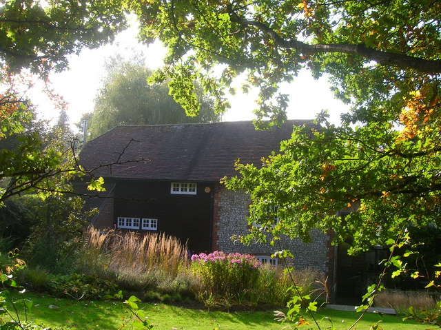
Image: © Simon Carey Taken: 11 Oct 2008
The view from the footpath over the fence. A watermill has operated from this spot since the 13th century, sometimes known as Park Mill as there two mills operating down Chantry Lane in the 18th century. Until circa 1826 it was used as a fulling mill then changed its function to grind corn until 1918 when it was briefly used to power electricity for nearby Sullington. It is now a private house.
Images are licensed for reuse under creativecommons.org/licenses/by-sa/2.0
Image Location
Latitude
50.913248
Longitude
-0.447474