Ruin, Matterdale End
Introduction
The photograph on this page of Ruin, Matterdale End by Bob Jenkins as part of the Geograph project.
The Geograph project started in 2005 with the aim of publishing, organising and preserving representative images for every square kilometre of Great Britain, Ireland and the Isle of Man.

There are currently over 7.5m images from over 14,400 individuals and you can help contribute to the project by visiting https://www.geograph.org.uk
Ruin, Matterdale End
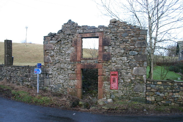
Image: © Bob Jenkins Taken: 3 Jan 2006
This once substantial building has shown gradual decay over many years.
Images are licensed for reuse under creativecommons.org/licenses/by-sa/2.0
Image Location
Latitude
54.603043
Longitude
-2.936507