Parkhouse Mews, near Cholderton
Introduction
The photograph on this page of Parkhouse Mews, near Cholderton by Brian Robert Marshall as part of the Geograph project.
The Geograph project started in 2005 with the aim of publishing, organising and preserving representative images for every square kilometre of Great Britain, Ireland and the Isle of Man.

There are currently over 7.5m images from over 14,400 individuals and you can help contribute to the project by visiting https://www.geograph.org.uk
Parkhouse Mews, near Cholderton
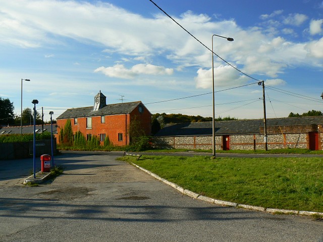
Image: © Brian Robert Marshall Taken: 9 Oct 2008
The redbrick property to the left is what was once some sort of farm building. It has been converted into dwellings along with others nearby.
Images are licensed for reuse under creativecommons.org/licenses/by-sa/2.0
Image Location
Latitude
51.190708
Longitude
-1.669829