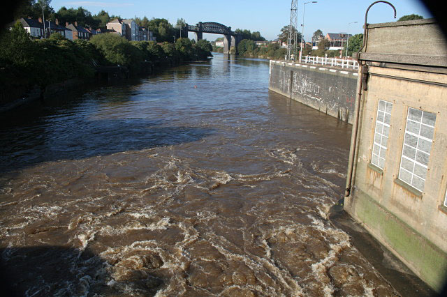
Latchford Locks, Manchester Ship Canal
Introduction
The photograph on this page of Latchford Locks, Manchester Ship Canal by Alan Murray-Rust as part of the Geograph project.
The Geograph project started in 2005 with the aim of publishing, organising and preserving representative images for every square kilometre of Great Britain, Ireland and the Isle of Man.
There are currently over 7.5m images from over 14,400 individuals and you can help contribute to the project by visiting https://www.geograph.org.uk

Image: © Alan Murray-Rust Taken: 6 Oct 2008
Taken from the footway across the sluice weir. There is a significant flow of water in the canal which is fed from the rivers Mersey and Irwell, and the sluices are automatically adjusted to suit the current volume of water. When the Canal was still busy, the operation of the locks would probably have been sufficient to provide most of the passage of water.
Image Location


