Ruislip Manor Methodist Church
Introduction
The photograph on this page of Ruislip Manor Methodist Church by David Hawgood as part of the Geograph project.
The Geograph project started in 2005 with the aim of publishing, organising and preserving representative images for every square kilometre of Great Britain, Ireland and the Isle of Man.

There are currently over 7.5m images from over 14,400 individuals and you can help contribute to the project by visiting https://www.geograph.org.uk
Ruislip Manor Methodist Church
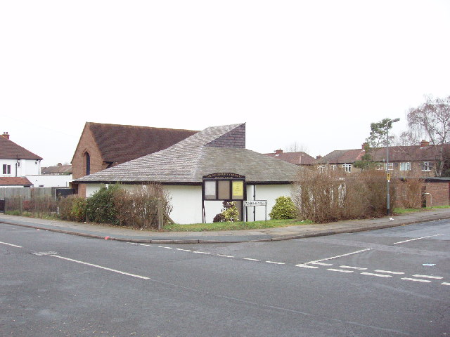
Image: © David Hawgood Taken: 3 Jan 2006
The church is at the junction of Torrington road and Ashburton road. It was built in 1937. It is in the Harrow Circuit. It has many activities, and has rooms available for hire, from small rooms up to the hall for 100 and the church itself for 120. See church website http://www.rmmc.org.uk/.
Images are licensed for reuse under creativecommons.org/licenses/by-sa/2.0
Image Location
Latitude
51.567134
Longitude
-0.409866