Langport: Post Office
Introduction
The photograph on this page of Langport: Post Office by Martin Bodman as part of the Geograph project.
The Geograph project started in 2005 with the aim of publishing, organising and preserving representative images for every square kilometre of Great Britain, Ireland and the Isle of Man.

There are currently over 7.5m images from over 14,400 individuals and you can help contribute to the project by visiting https://www.geograph.org.uk
Langport: Post Office
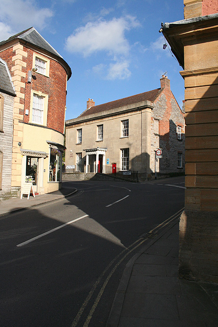
Image: © Martin Bodman Taken: 10 Oct 2008
On rising ground, where North Street runs into Cheapside. The fork on the right - in shadow - is The Hill, and runs up to All Saints church and the site of the medieval market place
Images are licensed for reuse under creativecommons.org/licenses/by-sa/2.0
Image Location
Latitude
51.037894
Longitude
-2.827602