Langport: Great Western House
Introduction
The photograph on this page of Langport: Great Western House by Martin Bodman as part of the Geograph project.
The Geograph project started in 2005 with the aim of publishing, organising and preserving representative images for every square kilometre of Great Britain, Ireland and the Isle of Man.

There are currently over 7.5m images from over 14,400 individuals and you can help contribute to the project by visiting https://www.geograph.org.uk
Langport: Great Western House
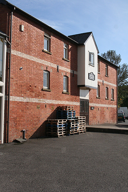
Image: © Martin Bodman Taken: 10 Oct 2008
By the now vanished Langport West station on the broad-gauge branch line from Taunton to Yeovil, opened in October 1853 and closed in 1964. It also adjoins the river Parrett and perhaps served as a transfer warehouse
Images are licensed for reuse under creativecommons.org/licenses/by-sa/2.0
Image Location


Leaflet Map data © OpenStreetMap
Latitude
51.035144
Longitude
-2.834826