Farmland in Croxton Kerrial
Introduction
The photograph on this page of Farmland in Croxton Kerrial by Kate Jewell as part of the Geograph project.
The Geograph project started in 2005 with the aim of publishing, organising and preserving representative images for every square kilometre of Great Britain, Ireland and the Isle of Man.

There are currently over 7.5m images from over 14,400 individuals and you can help contribute to the project by visiting https://www.geograph.org.uk
Farmland in Croxton Kerrial
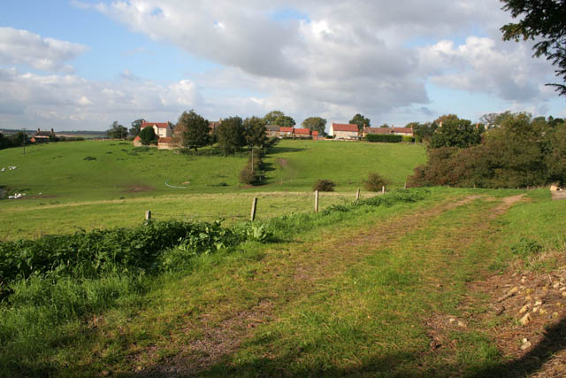
Image: © Kate Jewell Taken: 8 Oct 2008
View from the right angled bend on School Lane looking towards Chapel Lane. The last house on the left is on the right horizon in Image, taken from the same spot.
Images are licensed for reuse under creativecommons.org/licenses/by-sa/2.0
Image Location
Latitude
52.854748
Longitude
-0.763175