Low lying field by the A137
Introduction
The photograph on this page of Low lying field by the A137 by Andrew Hill as part of the Geograph project.
The Geograph project started in 2005 with the aim of publishing, organising and preserving representative images for every square kilometre of Great Britain, Ireland and the Isle of Man.

There are currently over 7.5m images from over 14,400 individuals and you can help contribute to the project by visiting https://www.geograph.org.uk
Low lying field by the A137
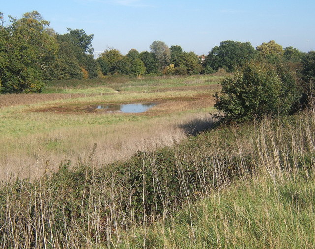
Image: © Andrew Hill Taken: 11 Oct 2008
The trees allow barely a glimpse of the nearby southern outskirts of Ipswich. The low lying fields by Belstead Brook define the southern edge of the town.
Images are licensed for reuse under creativecommons.org/licenses/by-sa/2.0
Image Location
Latitude
52.033425
Longitude
1.147303