Fence near Spittal Houses
Introduction
The photograph on this page of Fence near Spittal Houses by Steve Fareham as part of the Geograph project.
The Geograph project started in 2005 with the aim of publishing, organising and preserving representative images for every square kilometre of Great Britain, Ireland and the Isle of Man.

There are currently over 7.5m images from over 14,400 individuals and you can help contribute to the project by visiting https://www.geograph.org.uk
Fence near Spittal Houses
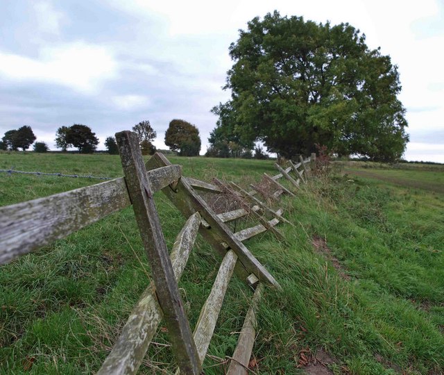
Image: © Steve Fareham Taken: 11 Oct 2008
To the South of Wentworth the concrete tracks and standard fencing are typical of an area that has been opencast coal mined.
Images are licensed for reuse under creativecommons.org/licenses/by-sa/2.0
Image Location
Latitude
53.47414
Longitude
-1.431822