Development Site
Introduction
The photograph on this page of Development Site by Robert Wade as part of the Geograph project.
The Geograph project started in 2005 with the aim of publishing, organising and preserving representative images for every square kilometre of Great Britain, Ireland and the Isle of Man.

There are currently over 7.5m images from over 14,400 individuals and you can help contribute to the project by visiting https://www.geograph.org.uk
Development Site
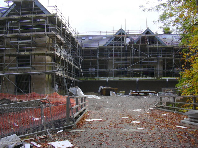
Image: © Robert Wade Taken: 9 Oct 2008
The building of these flats between Free Lane and Holcombe Road has been halted due to the construction firm going "bust"
Images are licensed for reuse under creativecommons.org/licenses/by-sa/2.0
Image Location
Latitude
53.683375
Longitude
-2.332449