Marshalls Heath Lane
Introduction
The photograph on this page of Marshalls Heath Lane by Gary Fellows as part of the Geograph project.
The Geograph project started in 2005 with the aim of publishing, organising and preserving representative images for every square kilometre of Great Britain, Ireland and the Isle of Man.

There are currently over 7.5m images from over 14,400 individuals and you can help contribute to the project by visiting https://www.geograph.org.uk
Marshalls Heath Lane
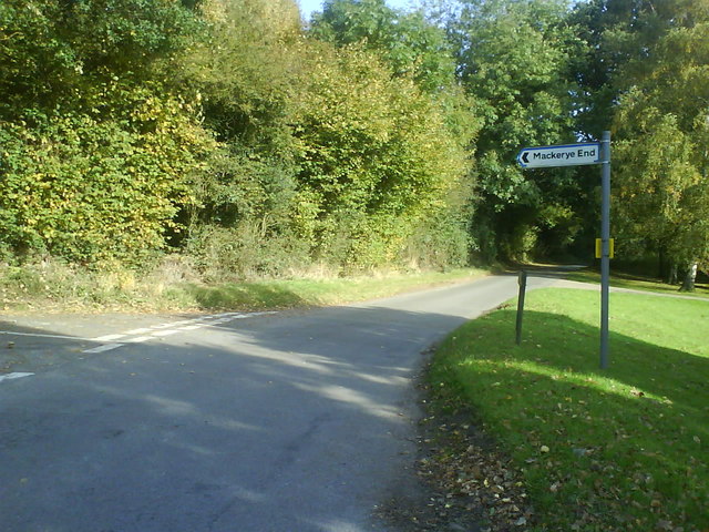
Image: © Gary Fellows Taken: 10 Oct 2008
Taken at the turning which eventually takes you into Mackerye End
Images are licensed for reuse under creativecommons.org/licenses/by-sa/2.0
Image Location
Latitude
51.824611
Longitude
-0.315638