Pasture at Ysgubor-wen
Introduction
The photograph on this page of Pasture at Ysgubor-wen by Graham Horn as part of the Geograph project.
The Geograph project started in 2005 with the aim of publishing, organising and preserving representative images for every square kilometre of Great Britain, Ireland and the Isle of Man.

There are currently over 7.5m images from over 14,400 individuals and you can help contribute to the project by visiting https://www.geograph.org.uk
Pasture at Ysgubor-wen
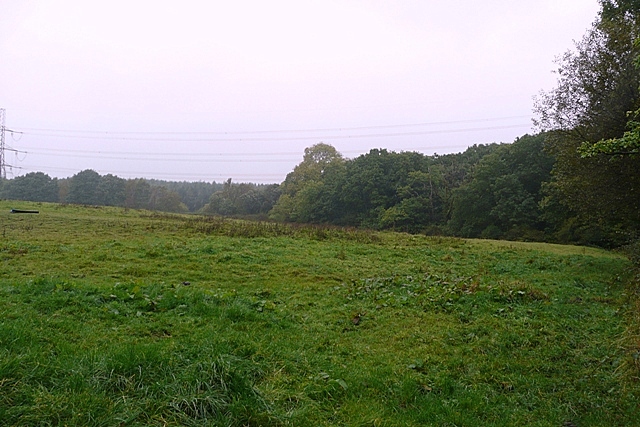
Image: © Graham Horn Taken: 4 Oct 2008
There is a small amount of farmland in the square, and the mining spoil heaps start beyond the power lines.
Images are licensed for reuse under creativecommons.org/licenses/by-sa/2.0
Image Location
Latitude
51.727262
Longitude
-3.44492