1
Highfield Road towards the A48, Lydney
From the corner of Driffield Road along Highfield Road towards the A48 junction out of shot ahead.
Image: © Jaggery
Taken: 16 Apr 2017
0.05 miles
2
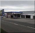
Gulf garage at Cross Hands
On the eastern outskirts of Lydney.
Image: © M J Richardson
Taken: 24 Sep 2013
0.05 miles
3
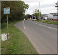
P is for Parking, Highfield Road, Cross Hands, Lydney
Faded and stained in April 2017, a whitish P on a blue background
draws attention to the parking area extending for 60 metres ahead.
Image: © Jaggery
Taken: 16 Apr 2017
0.06 miles
4
Hand Car Wash, Highfield Road, Lydney
Set back from the south side of Highfield Road near a Gulf filling station. http://www.geograph.org.uk/photo/5387860
Image: © Jaggery
Taken: 16 Apr 2017
0.06 miles
5
Cross Hands Garage Lydney
Gulf filling station alongside Highfield Road.
Image: © Jaggery
Taken: 16 Apr 2017
0.06 miles
6
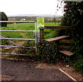
Highfield Road stile, Lydney
The stile gives walkers access to a track http://www.geograph.org.uk/photo/5387891 towards the A48 and Hurst Farm.
Image: © Jaggery
Taken: 16 Apr 2017
0.07 miles
7
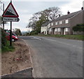
Warning sign - steep descent ahead, Highfield Road, Lydney
The sign indicates a 12% (between 1 in 8 and 1 in 9) descent ahead towards the town centre.
The black arrow on the Yorkley 2 (miles) sign points towards Driffield Road. http://www.geograph.org.uk/photo/5387701
Image: © Jaggery
Taken: 16 Apr 2017
0.07 miles
8
Southern end of Driffield Road, Lydney
Driffield Road extends for about a kilometre from Allaston Road in the north to here at the Highfield Road junction. The 30mph speed limit on Driffield Road increases to 40mph on Highfield Road.
Image: © Jaggery
Taken: 16 Apr 2017
0.08 miles
9
Junction of Highfield Road and Driffield Road, Lydney
The 40mph speed limit on Highfield Road drops to 30mph along Driffield Road.
Image: © Jaggery
Taken: 16 Apr 2017
0.08 miles
10
Ink caps [Coprinus lagopus]
A common inkcap that often grows in association with wood and woodland litter - here it is on a heap of wood chippings by the road side. The spore producing caps last just for a day.
Image: © M J Richardson
Taken: 24 Sep 2013
0.09 miles


![Ink caps [Coprinus lagopus]](https://s3.geograph.org.uk/geophotos/03/68/31/3683147_40bed1e5_120x120.jpg)