A walk from Trowbridge to Bradford-on-Avon [5]
Introduction
The photograph on this page of A walk from Trowbridge to Bradford-on-Avon [5] by Michael Dibb as part of the Geograph project.
The Geograph project started in 2005 with the aim of publishing, organising and preserving representative images for every square kilometre of Great Britain, Ireland and the Isle of Man.
There are currently over 7.5m images from over 14,400 individuals and you can help contribute to the project by visiting https://www.geograph.org.uk

Image: © Michael Dibb Taken: 26 Jan 2023
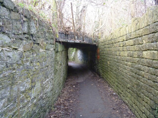
The path passes under a bridge that once carried a railway siding into the former Bowyers meat processing plant. The walk starts at Trowbridge railway station and initially follows both the railway line and the River Bliss northwards. The river and the railway both pass under the Kennet and Avon Canal and the canal towpath is taken heading west towards Bradford-on-Avon. Leaving the canal, a short walk through streets leads to the railway station for a train back to the starting point at Trowbridge. Just under 3¾ miles.

