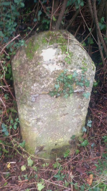
Old Milestone A429, Corston
Introduction
The photograph on this page of Old Milestone A429, Corston by Tom Blanden as part of the Geograph project.
The Geograph project started in 2005 with the aim of publishing, organising and preserving representative images for every square kilometre of Great Britain, Ireland and the Isle of Man.
There are currently over 7.5m images from over 14,400 individuals and you can help contribute to the project by visiting https://www.geograph.org.uk

Image: © Tom Blanden Taken: 11 Nov 2022
Modern image of Image The plate has disappeared since 1970. Malmesbury First Roman stone and plate, by the A429, in parish of St Paul Malmesbury Without (North Wiltshire District), Malmesbury Road, North East side of the village, by the North West side of road. There is most likely an OS Benchmark representing 75.1 m ASL on the front face under the soil. Inscription reads: CHIPPENᴹ. / VIII / MILES / MALMSRY. / II /MILES Grade II listed. July 1987 Number: 1284651 https://historicengland.org.uk/listing/the-list/list-entry/1284651 Milestone Society National ID: WI_CPMY08

