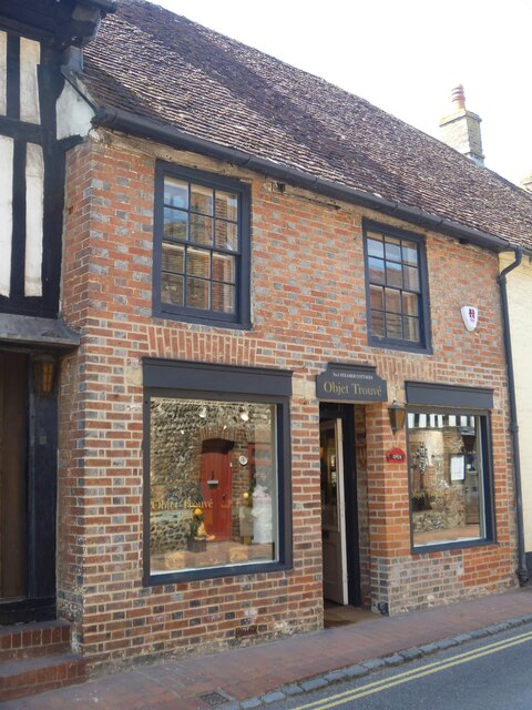
Alfriston buildings [14]
Introduction
The photograph on this page of Alfriston buildings [14] by Michael Dibb as part of the Geograph project.
The Geograph project started in 2005 with the aim of publishing, organising and preserving representative images for every square kilometre of Great Britain, Ireland and the Isle of Man.
There are currently over 7.5m images from over 14,400 individuals and you can help contribute to the project by visiting https://www.geograph.org.uk

Image: © Michael Dibb Taken: 6 May 2022
Number 1 Steamer Cottages, seen here, and The adjoining Italian restaurant Image were originally three cottages, later a public house. There is an 18th century front to, probably, an older building. Constructed of brick, mostly painted, under a hipped tile roof. The shop windows are modern. Listed, grade II, with details at: https://historicengland.org.uk/listing/the-list/list-entry/1293417 Alfriston is a village in East Sussex, some 6½ miles northwest of Eastbourne and 3½ miles northeast of Seaford. The village lies on the west bank of the Cuckmere River. There is evidence of occupation in the Neolithic period, with several long barrows on the surrounding downs. The village is home to The Star Inn, built in 1345 to accommodate monks and pilgrims en route from Battle Abbey to Chichester Cathedral. Also in the village is the Old Clergy House, the first building acquired by the National Trust in 1898.

