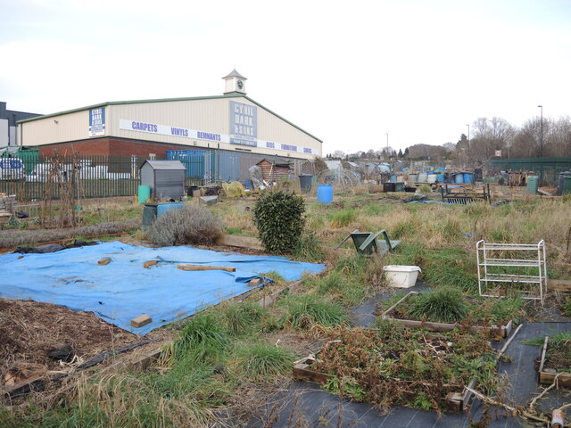
Blackswarth allotments
Introduction
The photograph on this page of Blackswarth allotments by Neil Owen as part of the Geograph project.
The Geograph project started in 2005 with the aim of publishing, organising and preserving representative images for every square kilometre of Great Britain, Ireland and the Isle of Man.
There are currently over 7.5m images from over 14,400 individuals and you can help contribute to the project by visiting https://www.geograph.org.uk

Image: © Neil Owen Taken: 2 Feb 2022
Some of Netham's land has been preserved for food production along Fireclay Road. It should be noted that this area used to be covered with an extensive heavy industry complex in the nineteenth century, known locally as the Brillos. The Netham Works used to manufacture chemical products, chiefly Sodium Carbonate (washing soda). The company imported a plant from Spain called Barilla, soon to be corrupted to Brillo, which contained 25% of the substance. As the business came under pressure from others, it folded and the area became regenerated in the 1950s; today there are many non-chemical firms operating in some larger buildings, but the odd patch of allotments still survive.

