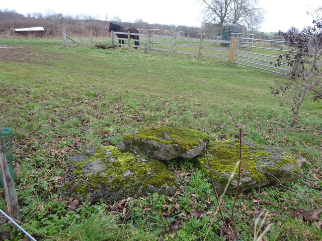
Stone Stile, Bibury
Introduction
The photograph on this page of Stone Stile, Bibury by Mr Red as part of the Geograph project.
The Geograph project started in 2005 with the aim of publishing, organising and preserving representative images for every square kilometre of Great Britain, Ireland and the Isle of Man.
There are currently over 7.5m images from over 14,400 individuals and you can help contribute to the project by visiting https://www.geograph.org.uk

Image: © Mr Red Taken: 3 Jan 2022
Fallen idles. The one in the foreground is about 1m from the current route of Gloucestershire footpath KBY18 and a wooden stile. The pile due North near the horse are similarly close to a farm track. At least one of these groups was probably the remains of a stone stile. An old farm house called Upper Severalls is to the NW, Ablington further NNW. The field beyond the hedges is the site of Rowberrow Camp, a series of ditches surrounding several small tumps.

