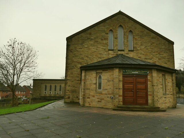
West end of St Wilfrid's church, Farnley
Introduction
The photograph on this page of West end of St Wilfrid's church, Farnley by Stephen Craven as part of the Geograph project.
The Geograph project started in 2005 with the aim of publishing, organising and preserving representative images for every square kilometre of Great Britain, Ireland and the Isle of Man.
There are currently over 7.5m images from over 14,400 individuals and you can help contribute to the project by visiting https://www.geograph.org.uk

Image: © Stephen Craven Taken: 29 Nov 2020
Geographically, approximately the north end, but liturgical west (i.e. the end opposite the altar). The church was built on the site of Cow Close Farm. According to the Leeds Indexers site, it opened in 1960, but the Wikipedia entry for "list of places of worship in Leeds" dates it to 1957 with a note that since 2015 it has been St Mary’s Syro-Malabar Catholic Mission.

