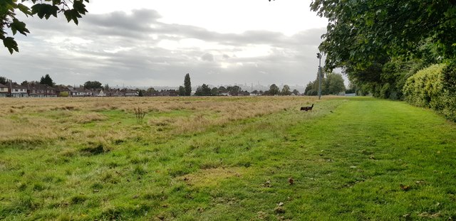
Burford Road Playing Fields
Introduction
The photograph on this page of Burford Road Playing Fields by Paul Collins as part of the Geograph project.
The Geograph project started in 2005 with the aim of publishing, organising and preserving representative images for every square kilometre of Great Britain, Ireland and the Isle of Man.
There are currently over 7.5m images from over 14,400 individuals and you can help contribute to the project by visiting https://www.geograph.org.uk

Image: © Paul Collins Taken: 10 Oct 2019
This view looks south. The three disused lighting columns are the only structures on the field; there is one tiny tree too. This 12.6 acre open space used to be playing fields but is now just grass. Access for local people is not easy as the main entrance off Kingstanding Road is locked and the entire boundary is completely fenced, apart from one small pedestrian access gap. In autumn 2019, the city council is aiming to dispose of the land for development under Section 77 of the Schools Standards and Framework Act 1998. Public consultation is underway.

