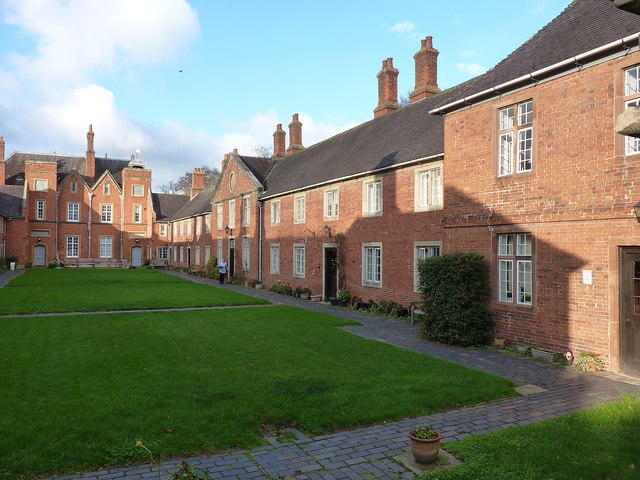
NE range of the Lady Katherine Leveson Hospital
Introduction
The photograph on this page of NE range of the Lady Katherine Leveson Hospital by Richard Law as part of the Geograph project.
The Geograph project started in 2005 with the aim of publishing, organising and preserving representative images for every square kilometre of Great Britain, Ireland and the Isle of Man.
There are currently over 7.5m images from over 14,400 individuals and you can help contribute to the project by visiting https://www.geograph.org.uk

Image: © Richard Law Taken: 26 Nov 2018
This, and the Image on the opposite side of the central grassy courtyard, are the main buildings of the Grade II* listed https://britishlistedbuildings.co.uk/101075996-north-east-range-at-the-lady-katherine-leveson-hospital-south-west-range-at-the-lady-katherine-leveson-hospital-balsall#.XBY_E9SLTGg Lady Katherine Leveson Hospital. Originally founded as almshouses in the 1670s, the present buildings were erected in the early 18th century, listed in 1952, and are still in use today as sheltered housing for the elderly.

