Houses on Broadpark Road, Livermead
Introduction
The photograph on this page of Houses on Broadpark Road, Livermead by Derek Harper as part of the Geograph project.
The Geograph project started in 2005 with the aim of publishing, organising and preserving representative images for every square kilometre of Great Britain, Ireland and the Isle of Man.

There are currently over 7.5m images from over 14,400 individuals and you can help contribute to the project by visiting https://www.geograph.org.uk
Houses on Broadpark Road, Livermead
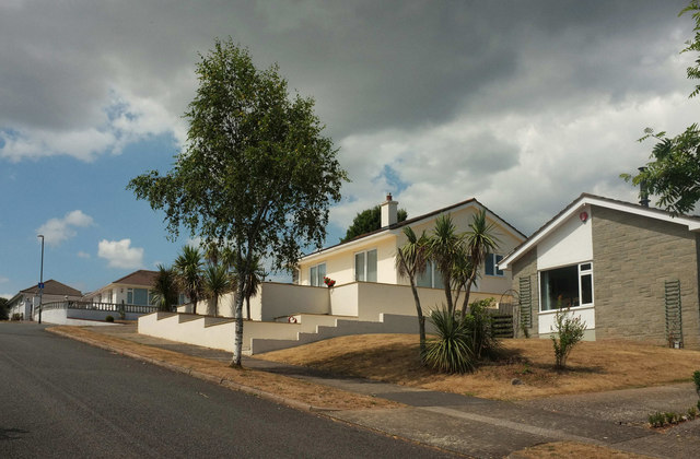
Image: © Derek Harper Taken: 20 Jul 2018
Looking in the opposite direction from where Image] was taken. A little ahead up the hill is the upper junction with Broadley Drive, a final brief cul-de-sac on the left ends Broadpark Road at a gate giving onto farmland.
Images are licensed for reuse under creativecommons.org/licenses/by-sa/2.0
Image Location


Leaflet Map data © OpenStreetMap
Latitude
50.456621
Longitude
-3.561231