East Hampshire : The A272
Introduction
The photograph on this page of East Hampshire : The A272 by Lewis Clarke as part of the Geograph project.
The Geograph project started in 2005 with the aim of publishing, organising and preserving representative images for every square kilometre of Great Britain, Ireland and the Isle of Man.

There are currently over 7.5m images from over 14,400 individuals and you can help contribute to the project by visiting https://www.geograph.org.uk
East Hampshire : The A272
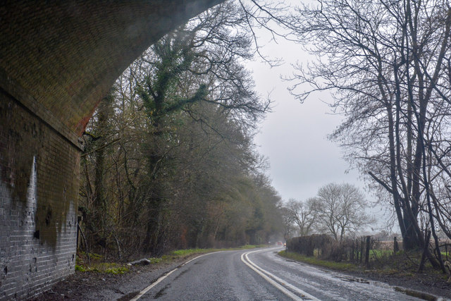
Image: © Lewis Clarke Taken: 29 Mar 2018
Heading along the A272 through East Hampshire and underneath the disused railway bridge.
Images are licensed for reuse under creativecommons.org/licenses/by-sa/2.0
Image Location


Leaflet Map data © OpenStreetMap
Latitude
51.030346
Longitude
-1.054212