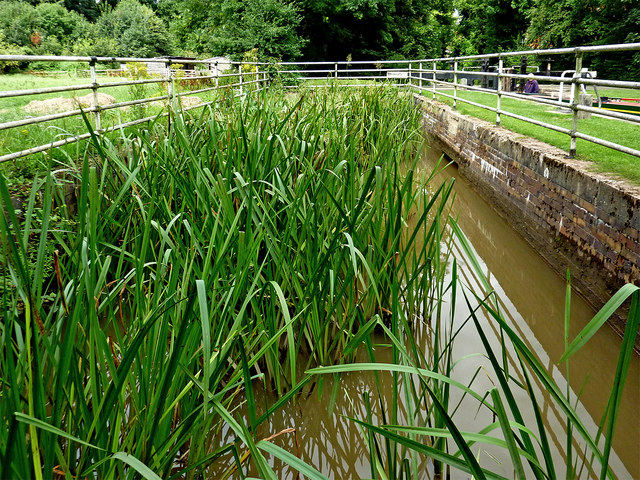
Lock sidepond north-west of Atherstone, Warwickshire
Introduction
The photograph on this page of Lock sidepond north-west of Atherstone, Warwickshire by Roger D Kidd as part of the Geograph project.
The Geograph project started in 2005 with the aim of publishing, organising and preserving representative images for every square kilometre of Great Britain, Ireland and the Isle of Man.
There are currently over 7.5m images from over 14,400 individuals and you can help contribute to the project by visiting https://www.geograph.org.uk

Image: © Roger D Kidd Taken: 19 Aug 2013
The side ponds are no longer in use on the Atherstone flight of locks. This one is by Lock No 4, looking north (downhill). There is a video on You-Tube showing one of the Atherstone sideponds being used: https://www.youtube.com/watch?v=QiOgADpax2M On the Coventry Canal, the Atherstone flight of eleven lowers (or raises) the water level by eighty feet (24.4 metres) over about two miles (three kilometres). As the canal company had run out of money by 1771 when it reached Atherstone on its course from Coventry, these locks and the rest of the route were constructed later, eventually arriving at Fazeley in 1790.

