The Old Fulling Mill (Ludford)
Introduction
The photograph on this page of The Old Fulling Mill (Ludford) by Fabian Musto as part of the Geograph project.
The Geograph project started in 2005 with the aim of publishing, organising and preserving representative images for every square kilometre of Great Britain, Ireland and the Isle of Man.

There are currently over 7.5m images from over 14,400 individuals and you can help contribute to the project by visiting https://www.geograph.org.uk
The Old Fulling Mill (Ludford)
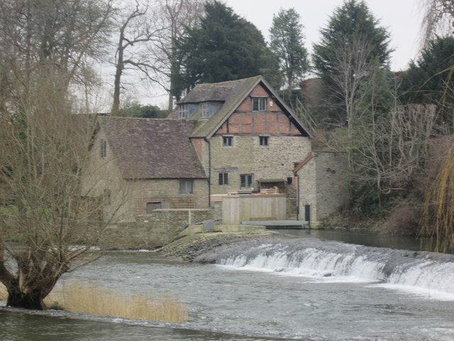
Image: © Fabian Musto Taken: 22 Feb 2018
Viewed from the path leading up to Ludford Bridge. This used to be a fulling mill where woollen cloth were cleaned and beaten. By today, it is a private house. The river underneath is the Horseshoe Weir.
Images are licensed for reuse under creativecommons.org/licenses/by-sa/2.0
Image Location


Leaflet Map data © OpenStreetMap
Latitude
52.363505
Longitude
-2.71543