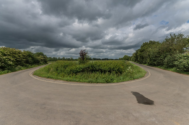
Rhymes Lane
Introduction
The photograph on this page of Rhymes Lane by Ian Capper as part of the Geograph project.
The Geograph project started in 2005 with the aim of publishing, organising and preserving representative images for every square kilometre of Great Britain, Ireland and the Isle of Man.
There are currently over 7.5m images from over 14,400 individuals and you can help contribute to the project by visiting https://www.geograph.org.uk

Image: © Ian Capper Taken: 11 Jun 2017
A wide angle view of Rhymes Lane (on the right) where it meets the lane that used to run from Marston Hill to Kempston, before it was truncated by the building of RAF Fairford (see also Image). It now leads to a crash gate off the airfield, with a corresponding crash gate on the other side of the base (see Image).

