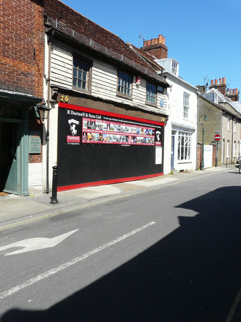
16, St Radigunds Street
Introduction
The photograph on this page of 16, St Radigunds Street by John Baker as part of the Geograph project.
The Geograph project started in 2005 with the aim of publishing, organising and preserving representative images for every square kilometre of Great Britain, Ireland and the Isle of Man.
There are currently over 7.5m images from over 14,400 individuals and you can help contribute to the project by visiting https://www.geograph.org.uk

Image: © John Baker Taken: 21 May 2017
Planning permission has been granted by Canterbury City Council under application numbers CA//16/00641 and CA//16/00642 for the “restoration of street frontage building and change of use to education. Demolition of existing workshop store building, erection of replacement two storey building as use for Kings School day house. Change of use of land to the rear of Hawkswells to education/residential amenity space. Demolition of garden room addition at 1 Duck Lane, replacement structure and creation of new opening”. Application number CA//16/00642 refers to granting listed building consent as it a grade II listed 18th century industrial building, described as having two weather-boarded storeys and a brick ground floor http://www.britishlistedbuildings.co.uk/101357524-16-st-radigund-street-canterbury#.WTrn-v6GPcc

