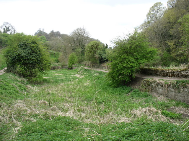
The bed of the former Thames and Severn Canal
Introduction
The photograph on this page of The bed of the former Thames and Severn Canal by David Purchase as part of the Geograph project.
The Geograph project started in 2005 with the aim of publishing, organising and preserving representative images for every square kilometre of Great Britain, Ireland and the Isle of Man.
There are currently over 7.5m images from over 14,400 individuals and you can help contribute to the project by visiting https://www.geograph.org.uk

Image: © David Purchase Taken: 20 Apr 2017
We were walking west on the south bank, and at this point just carried on doing so. Fortunately, within a few yards I realised that we should have crossed to the north bank (and the clear path seen here on the right). Even more fortunately, my shouts to my companions (who were ahead) alerted another couple to the fact that they had made the same error. When I did the walk (April 2017) there was no waymarking at this spot indicating the need to change banks (though there was for those walking east). I hope that this will have been corrected by the time you arrive.

