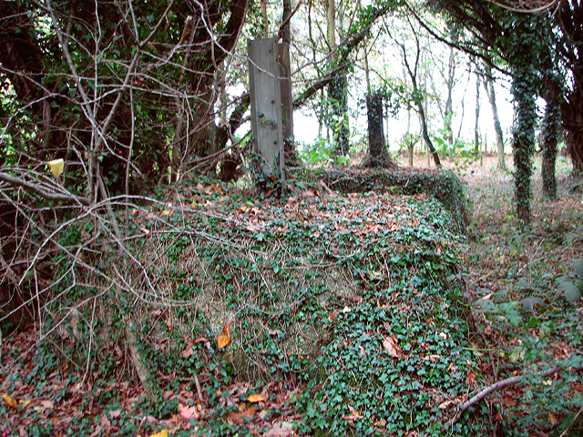
RAF Stoke Holy Cross - the buried reserve (receiver)
Introduction
The photograph on this page of RAF Stoke Holy Cross - the buried reserve (receiver) by Evelyn Simak as part of the Geograph project.
The Geograph project started in 2005 with the aim of publishing, organising and preserving representative images for every square kilometre of Great Britain, Ireland and the Isle of Man.
There are currently over 7.5m images from over 14,400 individuals and you can help contribute to the project by visiting https://www.geograph.org.uk

Image: © Evelyn Simak Taken: 10 Nov 2015
Two of the four concrete plinths of the reserve radar tower on the site of the station's receiver buried reserve. The wooden tower was 37 metres (120ft) high and can clearly be seen on an aerial view taken during the war and now held by the Imperial War Museum. For more information read: http://www.geograph.org.uk/article/RAF-Stoke-Holy-Cross-Chain-Home-radar-station/1 "Chain Home" was the codename for a ring of coastal radar stations built before and during WWII. The system is otherwise known as AMES Type 1. It was devised by Sir Robert Watson-Watt's Air Ministry research station near Bawdsey, Suffolk, and consists of radar fixed on top of a radio tower mast called a 'station' to provide long-range detection of aircraft. The Chain Home stations were arranged around the British coast, initially in the South and East but later the entire coastline, including the Shetland Islands. The system was dismantled after the war, but some of the tall steel radar towers were converted to new uses > http://www.geograph.org.uk/photo/1533128. http://en.wikipedia.org/wiki/Chain_Home

