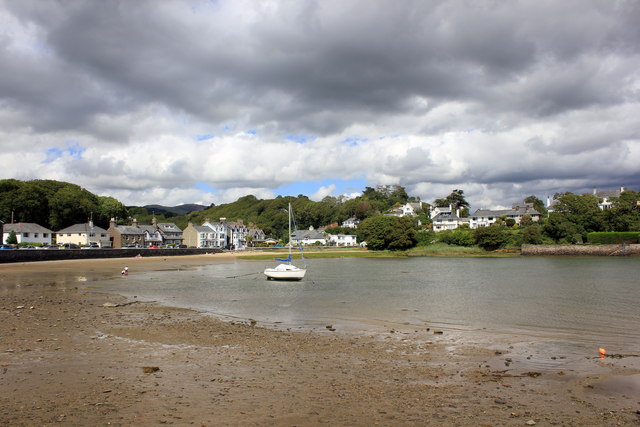
Borth-y-Gest
Introduction
The photograph on this page of Borth-y-Gest by Jeff Buck as part of the Geograph project.
The Geograph project started in 2005 with the aim of publishing, organising and preserving representative images for every square kilometre of Great Britain, Ireland and the Isle of Man.
There are currently over 7.5m images from over 14,400 individuals and you can help contribute to the project by visiting https://www.geograph.org.uk

Image: © Jeff Buck Taken: 6 Aug 2015
Borth-y-Gest lies 1 mile (1.6 km) to the south of Porthmadog. Ships were built here before Porthmadog was established. This was also the starting point of a major crossing over the wide and dangerous Glaslyn estuary, and locals earned money by guiding travellers across the treacherous sands of Traeth Mawr to Harlech.

