Trekenner Bridge
Introduction
The photograph on this page of Trekenner Bridge by Tony Atkin as part of the Geograph project.
The Geograph project started in 2005 with the aim of publishing, organising and preserving representative images for every square kilometre of Great Britain, Ireland and the Isle of Man.

There are currently over 7.5m images from over 14,400 individuals and you can help contribute to the project by visiting https://www.geograph.org.uk
Trekenner Bridge
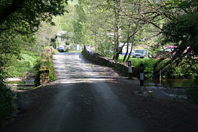
Image: © Tony Atkin Taken: 5 May 2007
This is looking out of the woodland over the slightly humped bridge to the old mill house on the other side of the flood plain.
Images are licensed for reuse under creativecommons.org/licenses/by-sa/2.0
Image Location


Leaflet Map data © OpenStreetMap
Latitude
50.569075
Longitude
-4.34688