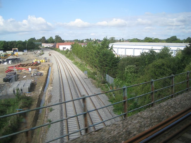
Railway construction northeast of Bicester, 3 August 2014
Introduction
The photograph on this page of Railway construction northeast of Bicester, 3 August 2014 by Robin Stott as part of the Geograph project.
The Geograph project started in 2005 with the aim of publishing, organising and preserving representative images for every square kilometre of Great Britain, Ireland and the Isle of Man.
There are currently over 7.5m images from over 14,400 individuals and you can help contribute to the project by visiting https://www.geograph.org.uk

Image: © Robin Stott Taken: 3 Aug 2014
The main subject is the clean, newly dualled line from Oxford to Bletchley. This view is roughly the reverse of Image The bigger picture is that this is part of the EastWest Rail Project to connect East Anglia with central, southern and western England http://www.eastwestrail.org.uk Thanks to Andrew Bodman for information. He is photographing other parts of the undertaking http://www.geograph.org.uk/search.php?i=51155856 On the left is the site of a new rail link between Bicester Town station and the Chiltern Line. It will allow Chiltern to run services between Marylebone and the new Oxford Parkway station by the A34. In railway circles, I understand, this link is called the Bicester Chord. The view is from a Chiltern Railways service from Birmingham to London.

