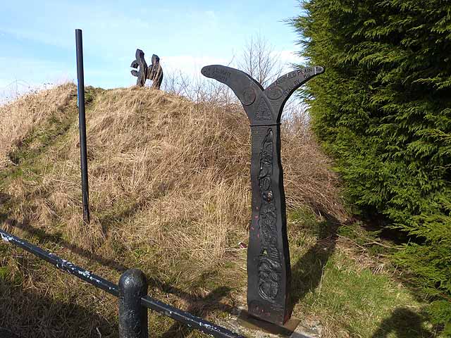
NCN milepost at the "Jolly Drovers", Leadgate
Introduction
The photograph on this page of NCN milepost at the "Jolly Drovers", Leadgate by Oliver Dixon as part of the Geograph project.
The Geograph project started in 2005 with the aim of publishing, organising and preserving representative images for every square kilometre of Great Britain, Ireland and the Isle of Man.
There are currently over 7.5m images from over 14,400 individuals and you can help contribute to the project by visiting https://www.geograph.org.uk

Image: © Oliver Dixon Taken: 28 Feb 2014
The Consett and Sunderland path (part of the famous C2C cycle route, National Cycle Network route 7) follows the line of an old railway from Stanhope Moor down to Washington. The milepost is one of a thousand donated by the Royal Bank of Scotland to the project. This particular design is "Fossil Tree" by John Mills, and is sometimes known as the "English" milepost, although examples of it may be found throughout the United Kingdom. The structure on top of the mound is supposed to be a "viewing point" for the Leadgate Maze Image on the other side of the "Jolly Drovers" roundabout.

