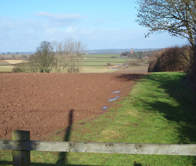
Red Hill, Redhill, NG5, Notts.
Introduction
The photograph on this page of Red Hill, Redhill, NG5, Notts. by David Hallam-Jones as part of the Geograph project.
The Geograph project started in 2005 with the aim of publishing, organising and preserving representative images for every square kilometre of Great Britain, Ireland and the Isle of Man.
There are currently over 7.5m images from over 14,400 individuals and you can help contribute to the project by visiting https://www.geograph.org.uk

Image: © David Hallam-Jones Taken: 16 Feb 2014
A view from the access track (a cul-de-sac) that serves approximately a third of the houses that make up the hamlet of Red Hill and that also carries a Severn Trent Water Company traffic towards two covered reservoirs, the Redhill and the Wernbank. To reach this spot drivers and walkers will have had to have crossed the road bridge that spans the cutting through which the A60 (the Nottingham-Mansfield Road) passes. This is the view northwards towards Lamin's Lane and the former Victorian pumping station; both of which are distant features. The pumping station is now a restaurant and spa location known as Lakeside Tower. It was previously called the Bestwood Pumping Station and it operated from 1874-1964 yielding over 3.5 million imperial gallons (16,000 m3) of water per day from surrounding pebble beds. Its end product was pumped through 2 x 18 inch mains to Red Hill reservoir and also to Papplewick reservoir via another x 18 inch water main.

