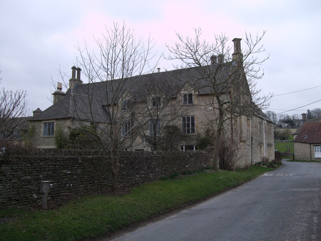
The Old Manor House, Baunton
Introduction
The photograph on this page of The Old Manor House, Baunton by Vieve Forward as part of the Geograph project.
The Geograph project started in 2005 with the aim of publishing, organising and preserving representative images for every square kilometre of Great Britain, Ireland and the Isle of Man.
There are currently over 7.5m images from over 14,400 individuals and you can help contribute to the project by visiting https://www.geograph.org.uk

Image: © Vieve Forward Taken: 3 Mar 2013
Grade II Listed former farmhouse http://www.britishlistedbuildings.co.uk/en-131053-the-old-manor-house-baunton-gloucestersh built in the mid-17th century, and altered in the late 18th-early 19th century. Constructed of Cotswold limestone with dressed stone quoins, it has an artificial stone slate roof at the front. It is built on a rectangular plan with the gable end to the road and a single-bay 18th century extension at right angles off-centre left at the front. The main body has three 2-light raking half dormers in the attic, and a variety of different windows below. The door is positioned within a gabled ashlar porch. See also Image] and Image Adjoining the Manor House is Stable Cottage, http://www.britishlistedbuildings.co.uk/en-131057-stable-cottage-baunton-gloucestershire which can be seen just beyond it beside the roadside to the right of the photograph (see Image]).

