Melling Mount
Introduction
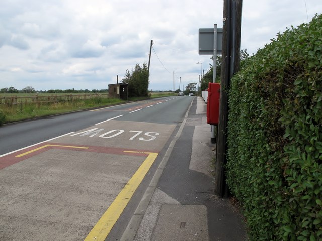
The photograph on this page of Melling Mount by Rude Health as part of the Geograph project.
The Geograph project started in 2005 with the aim of publishing, organising and preserving representative images for every square kilometre of Great Britain, Ireland and the Isle of Man.
There are currently over 7.5m images from over 14,400 individuals and you can help contribute to the project by visiting https://www.geograph.org.uk

Image: © Rude Health Taken: 12 Jul 2011
Parked in pub car park at walked back towards the bus stop which is or is very close to the high point on the road. Sefton current county/UA top. Name: Melling Mount Hill number: 5536 Height: 36m / 118ft Area: 36: Lancashire, Cheshire & the Southern Pennines Class: CoU Grid ref: SD 40327 01299 Summit feature: no feature: ground near bus stop just north of junction Drop: 3m Col: 33m SD403017

