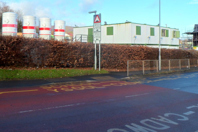
Cae Nant construction site, Cwmbran
Introduction
The photograph on this page of Cae Nant construction site, Cwmbran by Jaggery as part of the Geograph project.
The Geograph project started in 2005 with the aim of publishing, organising and preserving representative images for every square kilometre of Great Britain, Ireland and the Isle of Man.
There are currently over 7.5m images from over 14,400 individuals and you can help contribute to the project by visiting https://www.geograph.org.uk

Image: © Jaggery Taken: 4 Dec 2012
This site was formerly occupied by Brookfield Primary School http://www.geograph.org.uk/photo/1640691 which closed in 2009 when the school merged with Nant Celyn Primary School in a new £6.4 million school in the Hollybush area of Cwmbran. The SCHOOL yellow marking remains on the road surface. This early December 2012 view shows the Victoria Street side of the site for the construction of 111 houses for social housing not-for-profit company Melin Homes. Named Cae Nant the development will provide houses and flats to rent or buy. There will be a care scheme to provide a safe and secure environment for older residents. Melin is in partnership with Torfaen council and the Welsh government to fund the development. Completion of the first phase is scheduled for spring 2013.

