Tyrley bottom lock and cutting
Introduction
The photograph on this page of Tyrley bottom lock and cutting by Geoff Cryer as part of the Geograph project.
The Geograph project started in 2005 with the aim of publishing, organising and preserving representative images for every square kilometre of Great Britain, Ireland and the Isle of Man.

There are currently over 7.5m images from over 14,400 individuals and you can help contribute to the project by visiting https://www.geograph.org.uk
Tyrley bottom lock and cutting
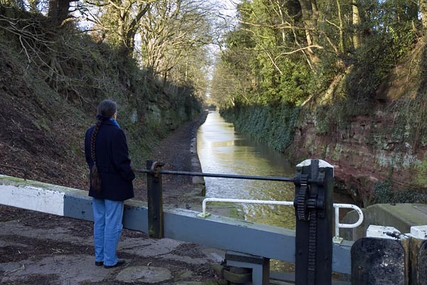
Image: © Geoff Cryer Taken: 20 Jan 2007
The view northwards through the rock cutting at Tyrley, Market Drayton, seen from the bottom lock
Images are licensed for reuse under creativecommons.org/licenses/by-sa/2.0
Image Location


Leaflet Map data © OpenStreetMap
Latitude
52.895506
Longitude
-2.467152