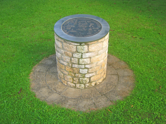
Coleby Toposcope
Introduction
The photograph on this page of Coleby Toposcope by Trevor Rickard as part of the Geograph project.
The Geograph project started in 2005 with the aim of publishing, organising and preserving representative images for every square kilometre of Great Britain, Ireland and the Isle of Man.
There are currently over 7.5m images from over 14,400 individuals and you can help contribute to the project by visiting https://www.geograph.org.uk

Image: © Trevor Rickard Taken: 6 Aug 2012
At the entrance to Chestnut Paddock is an interesting toposcope. At the centre is a detailed map of the village which is surrounded by pictorial representations of important artefacts. At the top is a description of the village history, ending 'The way of life has changed over the centuries but Coleby remains a thriving, close community as it goes forward into the 21st Century'. At the bottom is the date - 2002.

