Wally corner from Burcot Lane
Introduction
The photograph on this page of Wally corner from Burcot Lane by Roger Templeman as part of the Geograph project.
The Geograph project started in 2005 with the aim of publishing, organising and preserving representative images for every square kilometre of Great Britain, Ireland and the Isle of Man.

There are currently over 7.5m images from over 14,400 individuals and you can help contribute to the project by visiting https://www.geograph.org.uk
Wally corner from Burcot Lane
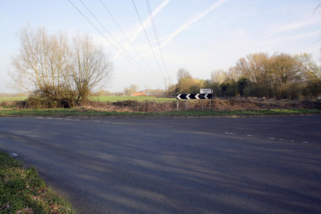
Image: © Roger Templeman Taken: 30 Mar 2012
The road to the right is Drayton Road, that to the left Dorchester Road. On the far side of the road is a benchmarked culvert Image In the distance an electricity substation.
Images are licensed for reuse under creativecommons.org/licenses/by-sa/2.0
Image Location


Leaflet Map data © OpenStreetMap
Latitude
51.655648
Longitude
-1.160662