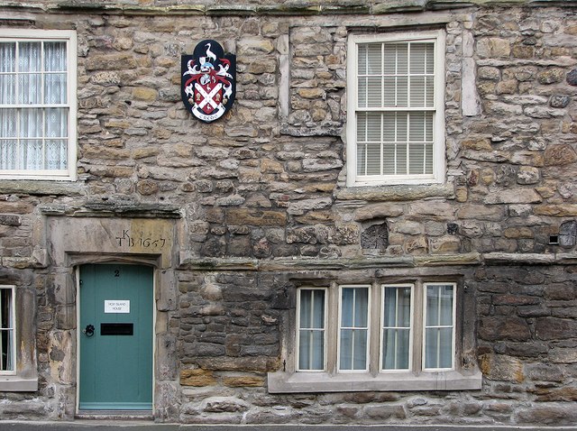
Hexham: Holy Island House - detail
Introduction
The photograph on this page of Hexham: Holy Island House - detail by John Sutton as part of the Geograph project.
The Geograph project started in 2005 with the aim of publishing, organising and preserving representative images for every square kilometre of Great Britain, Ireland and the Isle of Man.
There are currently over 7.5m images from over 14,400 individuals and you can help contribute to the project by visiting https://www.geograph.org.uk

Image: © John Sutton Taken: 17 Feb 2012
This house once stood on a narrow strip of land between two burns, the nearer of which is now culverted - hence its name. It is Elizabethan in style, though dated 1657. The first-floor windows were once mullioned, like the ground-floor ones. Grander twelve-light windows were added in the 18th century. The ends of the huge transverse beams supporting the upper floors are very prominent.

