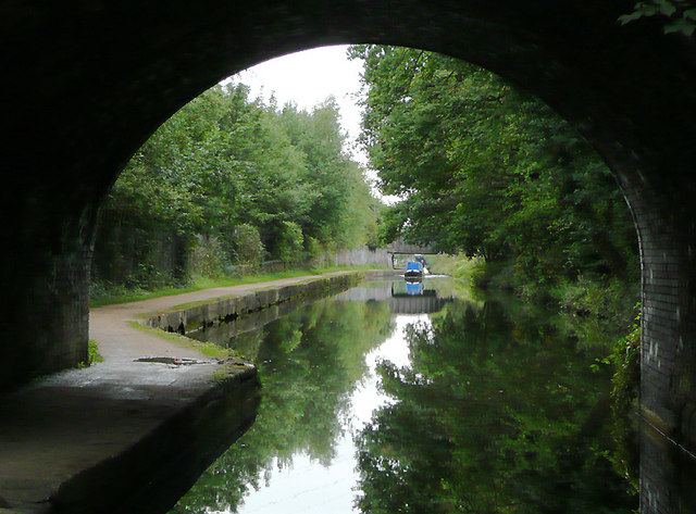
Worcester and Birmingham Canal near Bournville, Birmingham
Introduction
The photograph on this page of Worcester and Birmingham Canal near Bournville, Birmingham by Roger D Kidd as part of the Geograph project.
The Geograph project started in 2005 with the aim of publishing, organising and preserving representative images for every square kilometre of Great Britain, Ireland and the Isle of Man.
There are currently over 7.5m images from over 14,400 individuals and you can help contribute to the project by visiting https://www.geograph.org.uk

Image: © Roger D Kidd Taken: 25 Aug 2010
This image shows the canal approaching Selly Oak, seen from beneath the brick arch of Raddlebarn Road Bridge, No 78. The Worcester and Birmingham Canal was built in stages between 1791 and 1815 to connect the River Severn in Worcester to the Birmingham Canal System using a quicker route than the earlier Staffordshire and Worcestershire Canal. Grain, timber and agricultural produce were carried to the Midlands. Industrial goods and coal were carried down towards Worcester, often for onward transport to Bristol. Later, salt carrying was added as a regular cargo. Pairs of donkeys were often used in preference to horses, maybe because they could easily be put onto the boats which had to be legged (or pulled by tug) through the four tunnels near Birmingham.

