Field view
Introduction
The photograph on this page of Field view by terry joyce as part of the Geograph project.
The Geograph project started in 2005 with the aim of publishing, organising and preserving representative images for every square kilometre of Great Britain, Ireland and the Isle of Man.

There are currently over 7.5m images from over 14,400 individuals and you can help contribute to the project by visiting https://www.geograph.org.uk
Field view
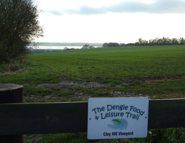
Image: © terry joyce Taken: 24 Nov 2010
This field with a view over the River Crouch is next to Image The sign is one of 29 shown on the trail website. http://www.dflt.co.uk
Images are licensed for reuse under creativecommons.org/licenses/by-sa/2.0
Image Location


Leaflet Map data © OpenStreetMap
Latitude
51.654207
Longitude
0.739508